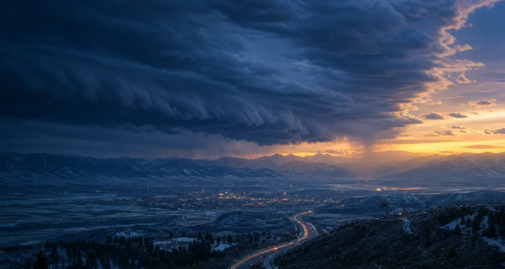
Reading the latest forecast Convincing the forecast grid to sit still…
Weather intelligence for critical decisions
Hyperlocal, terrain-aware forecasts for people, operations, and products that need to get it right. Scored against reality, and better with every forecast.
Inside the forecast
Engineered to be more accurate.
Shaped by terrain. Graded against reality. Corrected by the minute.
The problem
Most forecasts treat the world as a grid.
The global models behind most weather apps carve the world into grid squares and average everything inside one before they say a word. The square on this map holds downtown Aspen, the Roaring Fork river bottom, three ski areas, and a ridgeline half a mile higher than town. All of it gets a single number.
Terrain & elevation
Forecast to the terrain itself.
Weatherkind compiles its own forecast geography from 90-meter elevation data. Each region holds ground that behaves alike: a valley floor is one region, the slopes above it another, the ridgeline a third, and none is allowed to span more than about 300 meters of vertical relief. The map shows the actual regions for this valley, and the three demo pins show how temperature and snowfall can differ at the valley floor, mid-mountain, and peak.
Verified & learning
Learning each microclimate through constant verification.
Ocean Beach sits in the fifties. Livermore is near ninety. Same afternoon, forty miles apart, and one grid cell calls them both 72°. Weatherkind forecasts each microclimate on its own, scores every one against real instruments, and folds the misses back in. The coast stops getting the valley's weather.
Advanced Nowcast
Precipitation, minute by minute.
Weatherkind detects developing storms before the first radar echo by tracking rapid cloud-top cooling in infrared satellite imagery. We then combine radar cell motion, in-cloud lightning, wind, terrain, and sub-cloud humidity to estimate when precipitation will reach the ground, including even where mountains partially block radar. Our nowcast can predict rain at your exact location 120 minutes in advance.
Every signal, fused
We fuse satellite data, radar, and ground stations in real time.
Weatherkind combines state-of-the-art government models with radar sweeps minutes old, satellite and lightning data from orbit, and thousands of surface stations. Every forecast is scored against what actually happened, teaching the engine which signals perform best for each location and lead time. As new data arrives, that learning rebuilds a terrain-corrected, more accurate forecast minute by minute.
Forecast verification
A forecast should prove itself.
Most weather services ask you to take their accuracy on faith. We believe in our forecast enough to publish the record behind it, so you can judge it for yourself.
We archive forecasts from locations in our verification network, compare them with weather-station measurements afterward, and add the results to this 30-day record. Choose hourly or daily and open any row to see the error, bias, and number of comparisons behind it.
Results are published whether they improve or get worse.
Forecast verification
30-day recordAll locations
Loading results from the last 30 days…
Solutions
Weather intelligence, on the clock.
From first light to last call, make every weather-critical decision with confidence.
Mission Control One operational dashboard
One operational dashboard
for all your sites.
Mission Control is Weatherkind for operations: the mountains, yards, and job sites you answer for, watched around the clock by the same engine behind everything above.
- Every site, one screen
Saved locations become a fleet view: live conditions, forecasts, and alert status for every place you're responsible for.
- Alerts with teeth
Arm thresholds on any variable the API serves — gusts, freeze, lightning — and hear about it before it happens, not after.
- Bring your own stations
Your hardware's readings blend into the forecast, and the accuracy receipts get scoped to your exact sites.
Join the beta waitlist NOW IN BETA
Mission Control LIVE
- North Ridge Lift 18°F · 12 mph ok
- Pass Summit gusts 46 mph alert
- River Intake 33°F, falling watch
- Depot Yard 71°F · dry ok
- Trailhead Cam 54°F · clear ok
Alert rules
-
wind_gust > 40 mphtext the crew armed -
temperature < 32°Femail ops armed -
lightning < 10 mifire the webhook armed
YOUR STATIONS: 3 REPORTING · BLENDED INTO EVERY FORECAST
The API Power your product and operations
Power your product and operations
with our real-time Weather API.
Everything on this page runs on one API: forecasts, nowcasts, history, and alerts for any point on Earth. Take only the fields you need, and go from prototype to production on the same endpoints.
- Weather you can trust
Compare our published error record against your current provider, on your own coordinates, to see the difference.
- Accurate everywhere on Earth
Forecasts resolve by terrain and elevation, so a trailhead at 9,000 feet never inherits the valley's weather.
- Fast enough for the hot path
Lightning quick responses from our API, with a 99.99% enterprise SLA, so weather can sit inside critical paths.
- Updated in real time
Our engine updates your forecast instantly with the latest fusion from government outputs, radar, satellites, and ground stations.
- <100 ms typical response
- 120 min nowcast horizon
- 14 days forecast horizon
- 50 yrs daily history
Free tier: 1,000 calls a day, no credit card.
Live console
POST /v1/forecast ASPEN, COLORADO
fields
sections
{
  "location": {
    "latitude": 39.1911,
    "longitude": -106.8175
  },
  "timezone": "auto",
  "units": "us",
  "unit_overrides": {
    "elevation": "m",
    "pressure": "hPa"
  },
  "current": {
    "variables": [
      "temperature",
      "condition",
      "wind_speed"
    ]
  },
  "hourly": {
    "hours": 12,
    "variables": [
      "temperature",
      "condition",
      "wind_speed",
      "precipitation",
      "precipitation_probability"
    ]
  },
  "daily": {
    "days": 7,
    "variables": [
      "temperature_max",
      "temperature_min",
      "condition",
      "precipitation",
      "precipitation_probability"
    ]
  }
}
THE EXACT BODY SENT · TOGGLE FIELDS TO RESHAPE IT
RESPONSE
{
  "location": {
    "timezone": "America/Denver",
    "latitude": 39.1911,
    "longitude": -106.8175,
    "forecast_elevation_m": 2420
  },
  "warnings": [],
  "units": {
    "elevation": "m",
    "percentage": "%",
    "precipitation": "in",
    "precipitation_rate": "in/h",
    "pressure": "hPa",
    "system": "us",
    "temperature": "degF",
    "visibility": "mi",
    "wind_speed": "mph"
  },
  "current": {
    "condition": "sun",
    "temperature": 73,
    "time": "2026-08-04T17:31:42Z",
    "wind_speed": 5
  },
  "stale": false,
  "updated_at": "2026-08-04T17:31:42Z",
  "daily": [
    {
      "condition": "cloudy",
      "date": "2026-08-04",
      "precipitation": 0,
      "precipitation_probability": 26,
      "temperature_max": 85,
      "temperature_min": 66,
      "type": "forecast"
    },
    {
      "condition": "cloudy",
      "date": "2026-08-05",
      "precipitation": 0,
      "precipitation_probability": 5,
      "temperature_max": 86,
      "temperature_min": 57,
      "type": "forecast"
    }
  ],
  "hourly": [
    {
      "condition": "sun",
      "precipitation": 0,
      "precipitation_probability": 5,
      "temperature": 74,
      "time": "2026-08-04T18:00:00Z",
      "type": "forecast",
      "wind_speed": 9
    },
    {
      "condition": "sun",
      "precipitation": 0,
      "precipitation_probability": 25,
      "temperature": 77,
      "time": "2026-08-04T19:00:00Z",
      "type": "forecast",
      "wind_speed": 10
    }
  ]
}
RECORDED FROM THE PUBLIC API ON 2026-08-04 · RUN IT LIVE FOR YOURS
The app
Plan your outdoor adventures with the app.
Go outside without checking. The app tells you when rain starts, when a storm turns your way, and which hours are worth it. Free, no ads.
- Rain in 8 min Know the minute rain will start
A Live Activity puts itself on your lock screen, counts down to the first drop, and tells you when it clears.
- Severe thunderstorm See storms coming
Watches, warnings, and lightning tracked as it moves toward you — so you're off the ridge before it matters.
- Dry 2–6pm Plan the day before it starts
Hour by hour with the dry windows obvious, so you know when to head out and when to wait it out.
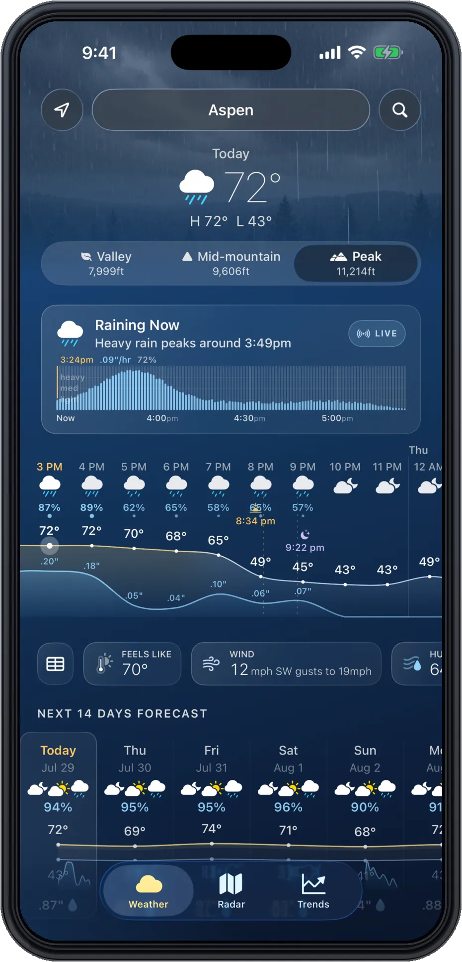
- Peak · 11,214 ft Terrain-aware forecasts
Valley, mid-mountain, or peak: pick your altitude and the whole day changes with it.
Download on the App Store
Scan to install
Weatherkind Live
Rain starting in 8 min
Heavy rain peaks around 3:49pm
On your lock screen. No app to open.
- Forecast, 3:24pm
- peak at 3:49pm
- What happened
- peaked 3:51pm
Off by two minutes. Every forecast, every time.
Example · live figures on the accuracy page